![[UK map]](/img/locationmap.png)
| OSGB36 trig archive spreadsheet - IW | |||||||||||||
|---|---|---|---|---|---|---|---|---|---|---|---|---|---|
| Trig Name | Original Name | New Name | EASTING | NORTHING | HEIGHT | ORDER | TYPE OF MARK | Computing Date | CLASS OF LEVELLING | Date of Levelling | LEVELLING DATUM | DESTROYED MARK INDICATOR | COMMENTS |
| Radio Mast Se | SO92/INT52 | SO92I052 | 399375.35 | 224827.65 | 0.000 | 4 | MAST | 01/06/1951 | 0 | 1 | Dest 02/80 |
Nearby trigpoints, placenames
There are 9 photos for this trigpoint (view album).
This trigpoint:
Is ranked joint 20332nd with 8 other trigs (more).
Has a mean score of 3.90/10 (from 21 logged visits)
Was First logged: 3rd Apr 1984
Has never been found intact
Was Last logged: 18th Jul 2025
Of the 21 logged visits,
1 recorded a location
The error was 12m
You are not logged in. You must login if you wish to log a visit.
Selection of photos for this Intersected Station.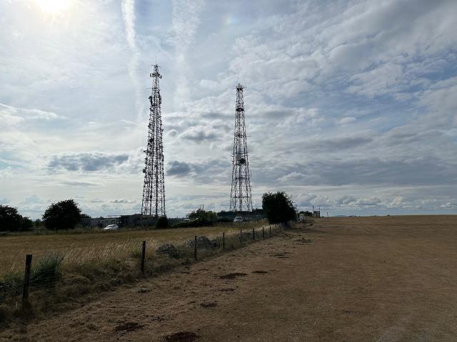 By TrigJS 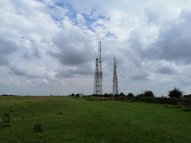 By JamesA60 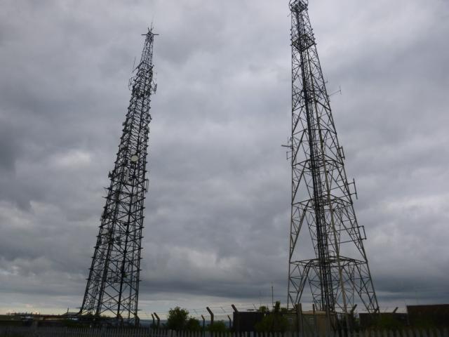 By Trigger 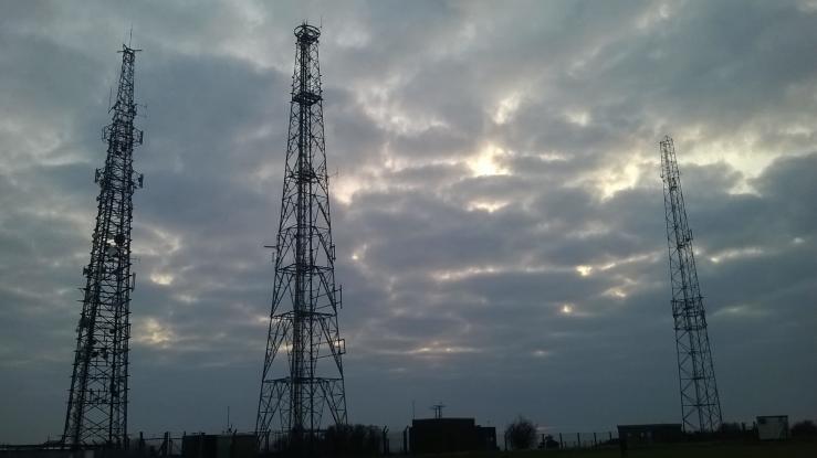 By tom 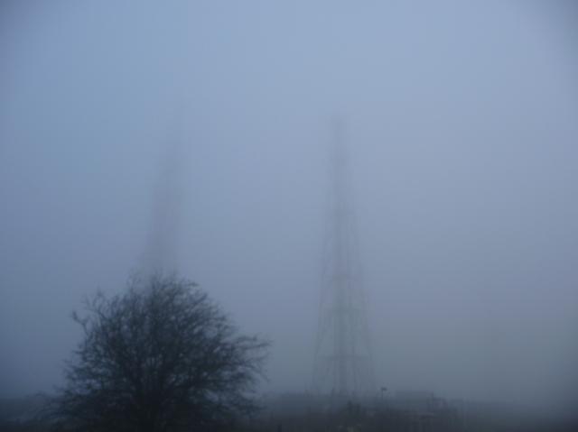 ©g4wsb See 4 more in the album. |
![]() 18th Jul 2025 17:30 by TrigJS
18th Jul 2025 17:30 by TrigJS
FB Number: Not logged Condition: Destroyed Score: 5/10
Destroyed. The two masts on site are newer replacements.
![]() TP12198 The two newer replacement masts.
TP12198 The two newer replacement masts.
![]() 24th Oct 2023 10:18 by meandmymum
24th Oct 2023 10:18 by meandmymum
FB Number: Not logged Condition: Destroyed Score: 5/10
![]() 22nd Sep 2021 13:58 by Particle
22nd Sep 2021 13:58 by Particle
FB Number: Not logged Condition: Destroyed Score: 7/10
![]() 4th Aug 2019 14:42 by JamesA60
4th Aug 2019 14:42 by JamesA60
FB Number: Not logged Condition: Destroyed Score: 5/10
OS data shows this is destroyed. No transmitter at given coordinates.
![]() 29th Mar 2019 12:37 by painterman61
29th Mar 2019 12:37 by painterman61
FB Number: Not logged Condition: Not Logged Score: 5/10
It's gone
![]() 31st Jul 2016 07:58 by Trigger
31st Jul 2016 07:58 by Trigger
FB Number: Not logged Condition: Couldn't find it Score: 5/10
![]() 25th May 2015 12:41 by Bourne
25th May 2015 12:41 by Bourne
FB Number: Not logged Condition: Destroyed Score: 1/10
![]() 20th Mar 2015 18:09 by tom
20th Mar 2015 18:09 by tom
FB Number: Not logged Condition: Destroyed Score: 3/10
The trig was one of a pair of masts used as intersected stations on the edge of a hill to the north east of Cheltenham. They are recorded as being computed in 1951 and destroyed in 1980. A couple of masts in the area were computed as replacements the following year. There are currently three masts in the compound, one of which matches a trig computed in 1981. There is a car park next to the compound allowing access to the adjacent Cleeve Common. The common was a very pleasant location for an evening stroll. It was full of birdsong and there is a good view over Cheltenham from near the masts. The grassland of the common is a SSSI and the area is within the Cotswold AONB.
![]()
![]() 15th Feb 2015 08:49 by g4wsb
15th Feb 2015 08:49 by g4wsb
Gridref: SO 99379 24839 FB Number: Not logged Condition: Destroyed Score: 5/10
FOG BOUND
![]() ©g4wsb
©g4wsb
![]() 9th Aug 2014 12:34 by CJO
9th Aug 2014 12:34 by CJO
FB Number: Not logged Condition: Destroyed Score: 5/10
Three masts on site - OS has it as destroyed.
![]() 29th Jun 2014 11:11 by Dusty
29th Jun 2014 11:11 by Dusty
FB Number: Not logged Condition: Destroyed Score: 5/10
![]() 9th Aug 2013 13:41 by Arnand
9th Aug 2013 13:41 by Arnand
FB Number: Not logged Condition: Destroyed Score: 4/10
Let me get this right.There was four masts on this site used as triangulation points, three masts remain but only one of which was used as a trigpoint. Well thats cleared that up then
![]() Only the nearest mast was used as a trigpoint, apparently
Only the nearest mast was used as a trigpoint, apparently
![]() 10th Jul 2013 10:55 by bluebeard
10th Jul 2013 10:55 by bluebeard
FB Number: Not logged Condition: Destroyed Score: 1/10
![]() 18th Sep 2011 13:45 by stignest
18th Sep 2011 13:45 by stignest
FB Number: Not logged Condition: Not Logged Score: 5/10
![]() 4th Oct 2010 11:18 by jonglew
4th Oct 2010 11:18 by jonglew
FB Number: Not logged Condition: Destroyed Score: 5/10
Passed by whilst doing Cleeve Hill and The Ring trigs.
![]() 30th Sep 2010 16:21 by edfielden
30th Sep 2010 16:21 by edfielden
FB Number: Not logged Condition: Destroyed Score: 2/10
Mast is noted as 'Destroyed 02/80'. Walked past site between The Ring (TP6240) and Cleeve Hill (TP0007).
![]() Aerial view of Cleeve Common Masts Showing relative positions of destroyed masts ©edfielden
Aerial view of Cleeve Common Masts Showing relative positions of destroyed masts ©edfielden
![]() 25th Oct 2009 00:00 by rupertal
25th Oct 2009 00:00 by rupertal
FB Number: Not logged Condition: Destroyed Score: 5/10
![]() 4th Jun 2008 11:48 by dugswell2
4th Jun 2008 11:48 by dugswell2
FB Number: Not logged Condition: Destroyed Score: 4/10
Bagging the Marilyn called Cleeve Hill.
![]() 20th Apr 2008 12:19 by Stevie Boy
20th Apr 2008 12:19 by Stevie Boy
FB Number: Not logged Condition: Destroyed Score: 1/10
![]() 11th Feb 2004 15:31 by lonesome_cowboy_burt
11th Feb 2004 15:31 by lonesome_cowboy_burt
FB Number: Not logged Condition: Destroyed Score: 3/10
Retrospective log
![]() Radio Mast SE From TP0007 Cleeve Hill©lonesome_cowboy_burt
Radio Mast SE From TP0007 Cleeve Hill©lonesome_cowboy_burt
![]() 3rd Apr 1984 11:31 by arranc
3rd Apr 1984 11:31 by arranc
FB Number: Not logged Condition: Destroyed Score: 1/10
![[map]](/img/trig-map.png.php?t=12198&b=2&l=0&)