Maps
From TrigpointingUK
A couple of users have made interactive maps to help users locate trig points within the UK.
Contents
UK Pillars
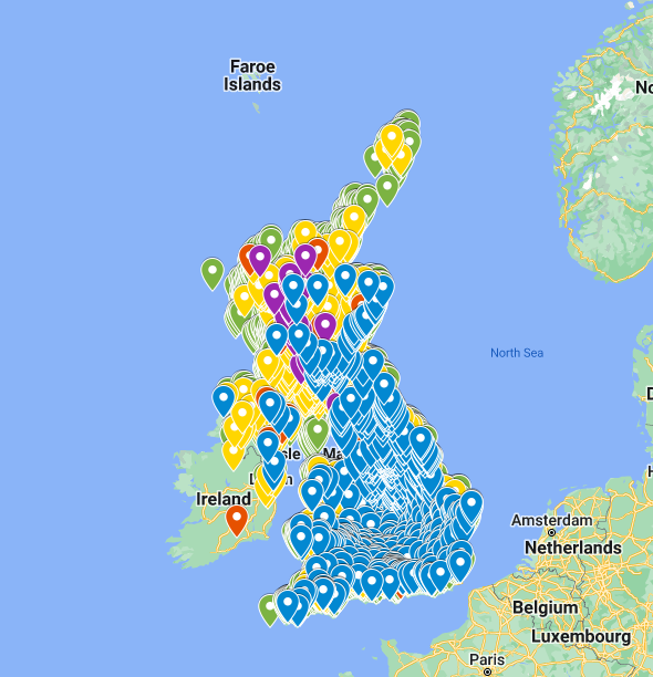
Google Map by Condition
Google Map created by Mossy Walks
Data compiled Jan 2023
Trigs have been grouped/colour coded based on condition (Good, Damaged, Destroyed etc)
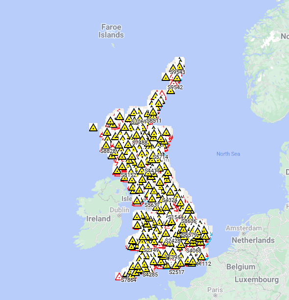
Google Map by Order
Google Map created by Clochandighter (Data compiled Jun 2022)
Trigs have been grouped/colour coded based on order (Primary, secondary etc)
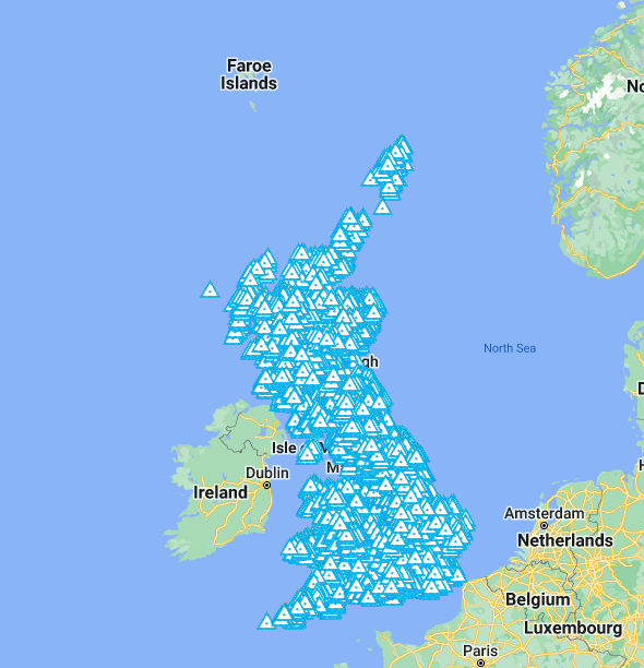
Google Map by FB Number
Google Map created by ipeattie (Data compiled Sept 2020)
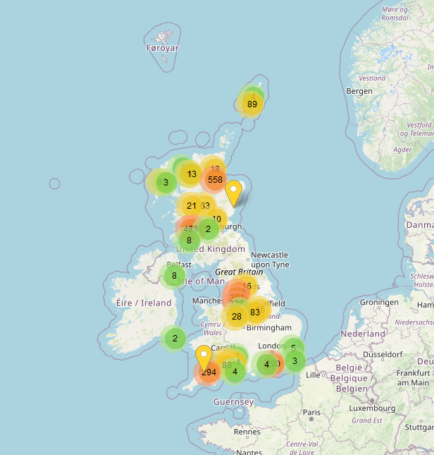
GitHub Map
Map hosted on Github created by jdconey (Data compiled Jan 2021)
County Pillars
A series of Google Maps created by Mossy Walks
Data compiled June 2023 using [Trig Tools]
Trigs have been colour coded based on condition (Good, Damaged, Destroyed etc)
England
- Avon
- Bedfordshire
- Berkshire
- Buckinghamshire
- Cambridgeshire
- Cheshire
- Cleveland
- Cornwall
- Cumbria
- Derbyshire
- Devon
- Dorset
- Durham
- East Sussex
- Gloucestershire
- Greater London
- Greater Manchester
- Hampshire
- Hereford & Worcester
- Hertfordshire
- Humberside
- Kent
- Lancashire
- Leicestershire
- Lincolnshire
- Merseyside
- Norfolk
- North Yorkshire
- Northamptonshire
- Northumberland
- Nottinghamshire
- Oxfordshire
- Shropshire
- Somerset
- South Yorkshire
- Staffordshire
- Suffolk
- Surrey
- Tyne & Wear
- Warwickshire
- West Midlands
- West Sussex
- West Yorkshire
- Wiltshire
Scotland
- Border Regions
- Central Regions
- Dumfries & Galloway
- Fife Region
- Grampian Region
- Highlands Region
- Lothian Region
- Strathclyde Region
- Tayside
Wales
Northern Ireland
- All OSNI trig pillars compiled by Ross McDonald
- Co Antrim
- Co Down
- Co Londonderry


